
Flood Screening Reports
Site Flood Screening Report
For developers and site appraisals. The published flood mapping for the site, explained for development, with a planning section.
- Price
£125£75- Site size
- Up to 10 hectares
- Delivery
- PDF by email, usually within one working day
Launch price until 31 October, applied automatically at checkout.
What is in it
Up to 18 pages, in this order
Each flood source mapped and rated, then the overall result, then what it means for a planning application. The required deliverables page only appears where a Flood Risk Assessment is needed.
Overview
- P2Site overview: location, nearby watercourses, flood defences and flood warning areas
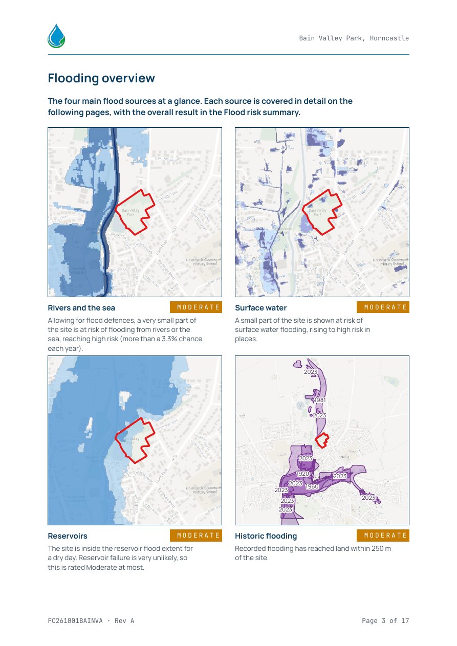
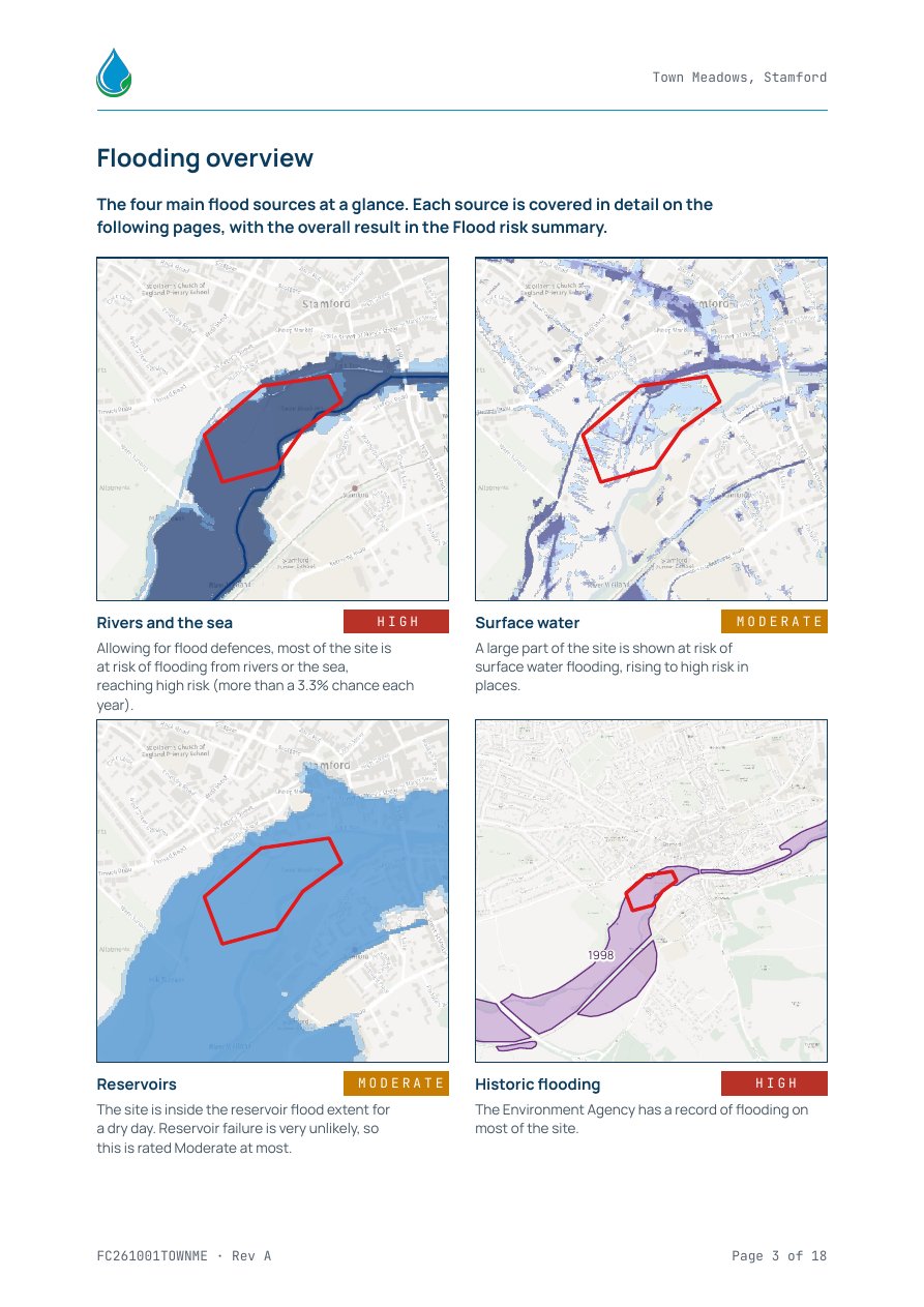
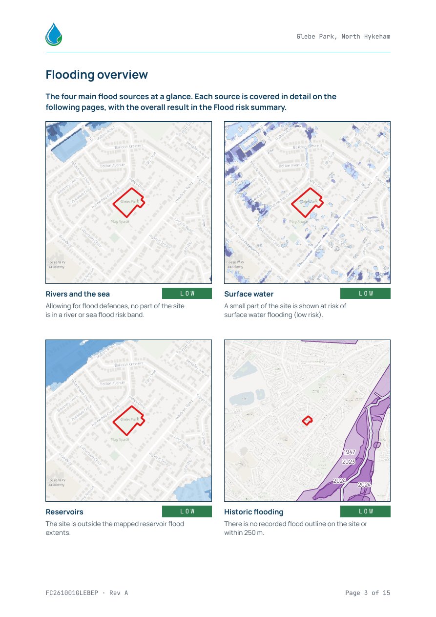
- P3Flooding overview: the four main sources at a glance
Each flood source, with a map and a rating
- P4Rivers and the sea, allowing for flood defences
- P5Rivers and the sea with climate change
- P6Surface water
- P7Surface water with climate change
- P8Reservoirs
- P9Historic flooding
- P10Groundwater
- P11Flood risk summary: the overall result and a table of each source
Planning and development
- P12Flood Map for Planning: Flood Zones, and Flood Zones plus climate change
- P13Indicative Flood Zone 3b
- P14What this means for your site: whether a Flood Risk Assessment is likely to be needed (NPPF triggers), and what can be built where
- P15Flood risk vulnerability classes, and the Sequential and Exception Tests
- P16Required deliverables, where a Flood Risk Assessment is needed
- P17Data sources and limitations
Sample reports
See exactly what you get
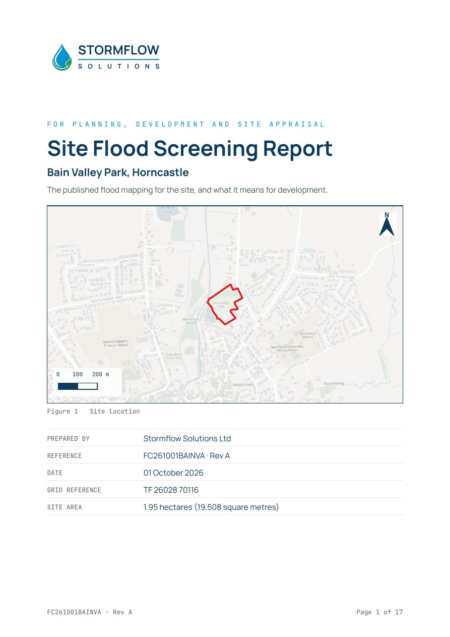
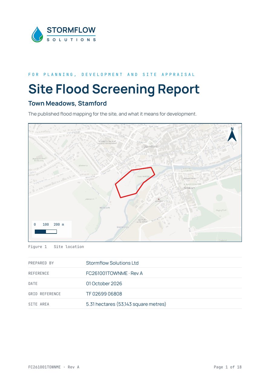
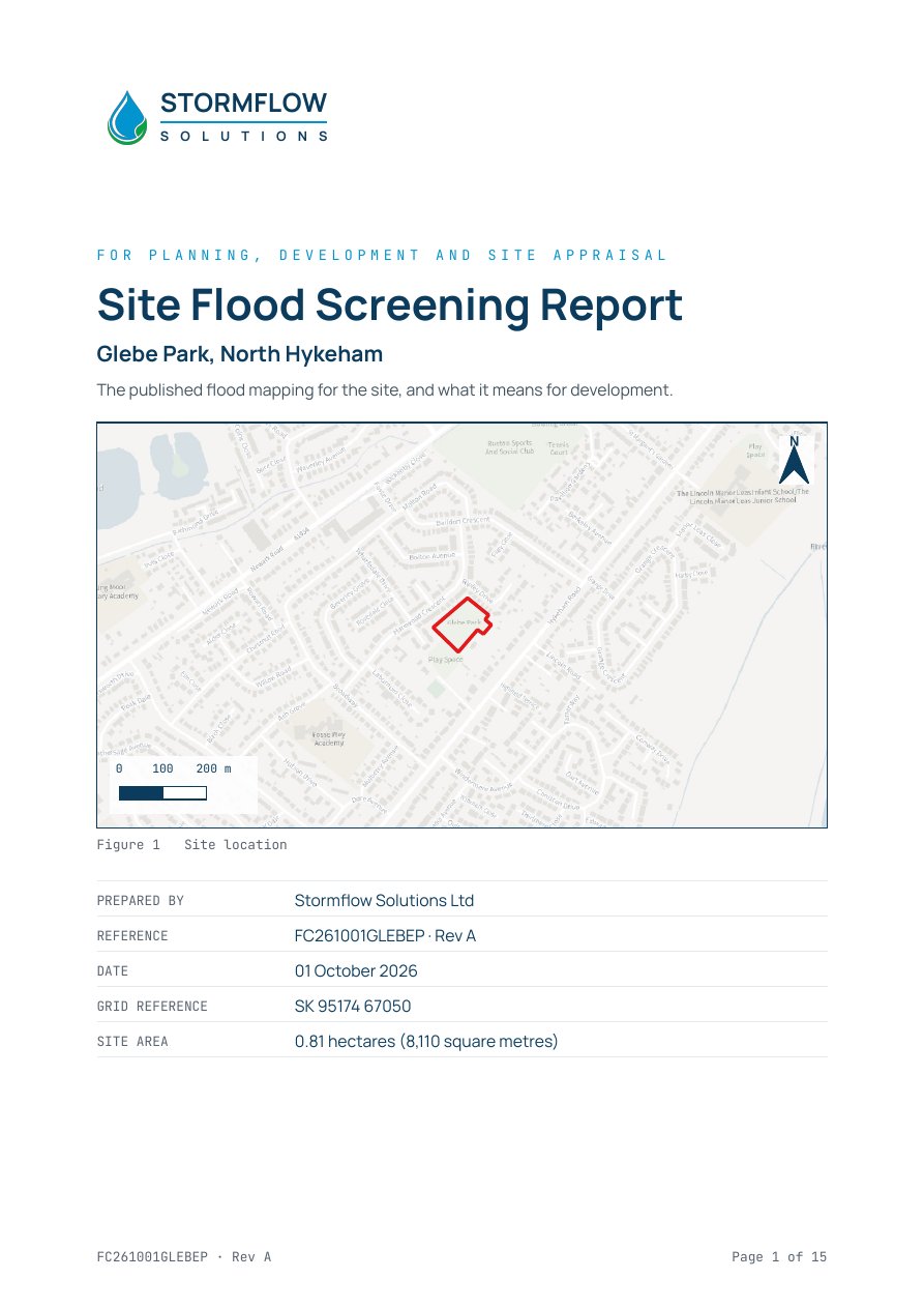
Three real Site reports, with a high, a moderate and a low result. Download any of them as a PDF.
How it works
Three steps
-
01
Draw your site on the map
Search for the postcode and click around the edge. Or upload a boundary file.
-
02
Add your details and pay securely with Stripe
Then pay by card on Stripe's secure checkout.
-
03
Receive your report by email
As a PDF, usually within one working day.
Order
Order the Site report
Launch price until 31 October, applied automatically at checkout.
BETAFlood Screening Reports are in beta.
AAPTak-19kA1r8ZH8qR3O9C-IHQ..i7g9zN-9KyYO6TbhHE6SSIxMFiKXqb_aZwP6GkngwBVDolp1KOG2PiAg-9P3nxZkUyGb_q9V89BEY-BT9r2D_f13BnFQ7ZorU8-lL4WAOC3CTeUh6BC9CguSNJAroa057PcYRXIPaiEEdJY1vENkU1IjRa32NgH51LAQCI0CyonZ2k6hzc7MpEZ4UtpNlQR_VMNN72DnE0nrF6gX_0-GoiFRD1PSEDwDpG3RnUKfd4efB8kpTqJr3SH_k6O7MZc.AT1_zxGDN4G7
- 1 Show us the site
- 2 Your details
- 3 Pay securely
1. Show us the site
Find the site by postcode, then either draw the boundary on the map or upload a boundary file. To draw, click round the edge of the site and click the first point again to finish. Switch to Aerial (top right of the map) if it helps.
Map data © OpenStreetMap contributors. Contains OS data © Crown copyright and database rights. Aerial imagery © Esri and its data providers. Postcode search by postcodes.io.
Limitations
The report is a screening of national datasets published at the date shown. It is not a site specific Flood Risk Assessment and should not be relied on as one.
Next steps
If the report shows risk
We can provide a Flood Risk Assessment for a planning application, and a drainage strategy report in accordance with the National Standards for Sustainable Drainage Systems (SuDS).
If you instruct Stormflow for flood risk work on the site within 30 days of the report date, we deduct the cost of the report from our fee.
Talk to us about a siteQuestions
Frequently asked
How is the rating decided?
Each flood source is rated Low, Moderate or High from the published mapping within the boundary you supply. A risk anywhere inside the boundary counts. The overall result draws the sources together, and the summary page shows how many were rated high. Ratings show relative risk on the national mapping: a low rating does not mean the site will never flood, and a high rating does not mean it will.
Is this a Flood Risk Assessment?
No. It is a desk based screening of national datasets, and nobody visits the site. It is not a site specific Flood Risk Assessment or a conveyancing search, and it should not be relied on as one. The Site report tells you whether a Flood Risk Assessment is likely to be needed.
What data is used and how current is it?
National open data from the Environment Agency, including the national flood risk assessment (NaFRA2), the British Geological Survey, Ordnance Survey and the Office for National Statistics. The data is retrieved when your report is prepared and the date is printed on it. National maps change when new data is published.
What if I cannot draw the boundary?
Upload a boundary file instead: GeoJSON, KML, KMZ or a zipped shapefile. If you do not have one, call 07869 044666 or email info@stormflow.co.uk with a plan of the site and we will help.
What if my site is larger than the limit?
The Site report covers up to 10 hectares, and the map tells you if the area you draw is larger. Above 10 hectares, call 07869 044666 or email info@stormflow.co.uk and we will price it.